


10.6 km | 24 km-effort


User


FREE GPS app for hiking
 SityTrail
IGN / Geographical institutes
SityTrail World
The world is yours!
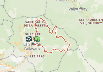
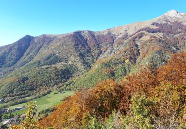
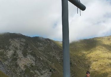
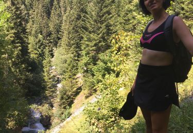
Trail Walking of 17.1 km to be discovered at Auvergne-Rhône-Alpes, Isère, La Salette-Fallavaux. This trail is proposed by jouans.
Randonnée autour du sanctuaire de la salette Fallavaux La salette col des Clos Col des Vachers
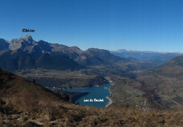
Walking

Walking
Walking
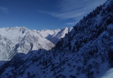
Touring skiing
Touring skiing
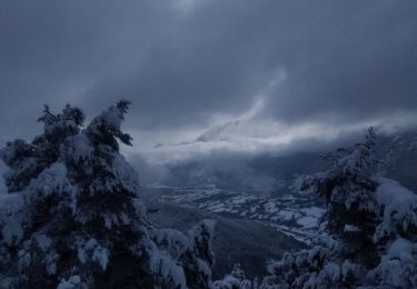
Walking
Walking
Walking
Touring skiing